
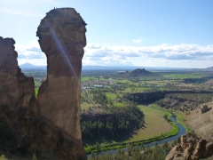
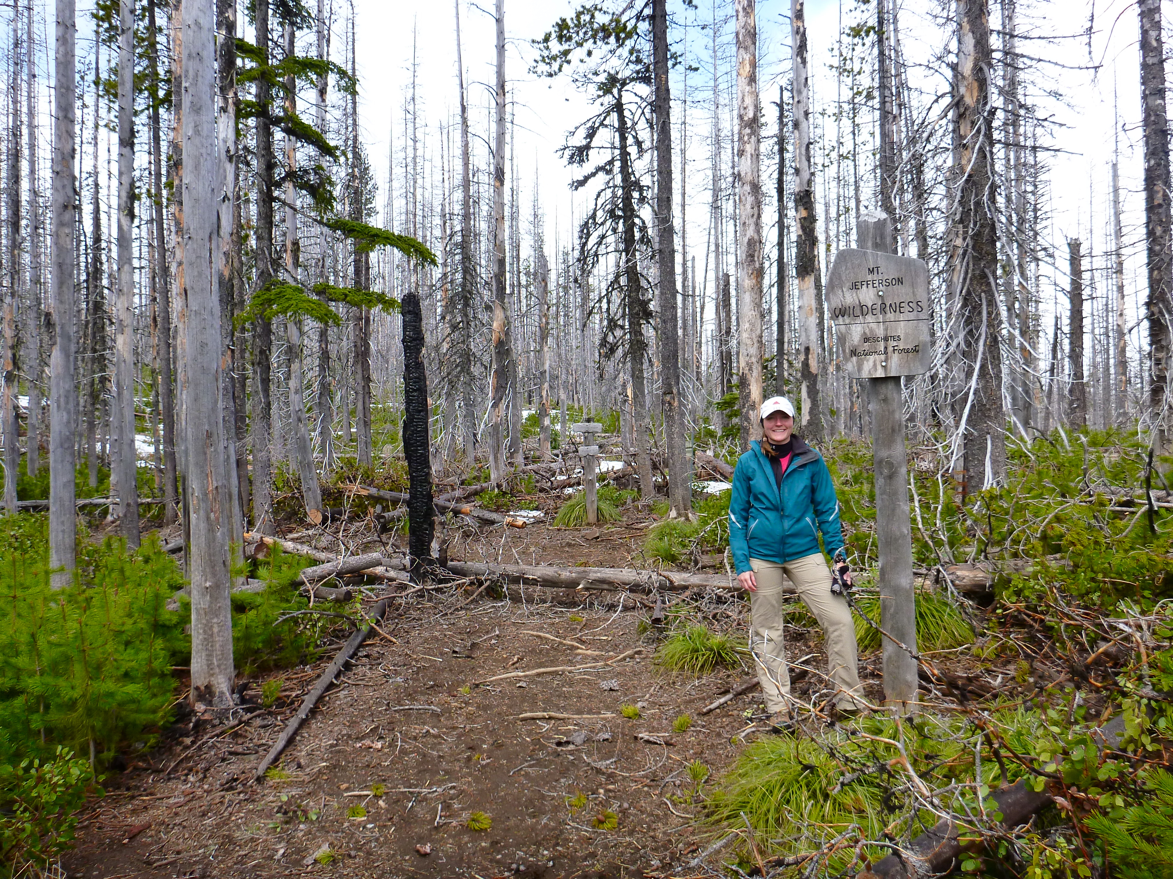
Monkey Face at Smith Rock State Park
Smith Rock State Park is about a half hour north from Bend in Terrebonne, Oregon. It is most famous for its rock climbing, with the iconic Monkey Face being one of its most challenging and well-known routes. The park costs $5 per day, and there is a self pay station where you get a ticket to put on the dashboard of your car. They also have yearly rates – $30 for 12 months and $50 for 24 months.
The trail map for Smith Rock Park is very helpful for planning either hiking or rock climbing routes. We parked our vehicle at the “day use area parking” and took the Chute trail down to the footbridge, then followed the Misery Ridge Trail, did a quick jaunt on the Mesa Verde Trail to get to the Summit Trail, then circled back on the Burma Road Trail to Wolf Tree Trail to complete our loop at the footbridge. In total, this took us about 2.5 hours, had an elevation change of 1,000 feet and my GPS watch had us at 6.33 miles (see map and charts below).
 Misery Ridge trail, as its name alludes to, is very very steep. However, it is very scenic as you get great views of the river valley below, and the “misery” is well worth the reward once you reach the top. Near the junction of Misery Ridge trail and Mesa Verde is the famous Monkey Face rock formation, a pinnacle to rock-climbers the world over.
  There were a few climbers relaxing and enjoying the view from the top of it when we passed by, and I truly felt awe and amazement at what they had just accomplished. The Summit Trail took us back down through some private property, and we were surprised by discovering some gorgeous homes nestled into the rocky cliffs just outside the park – I can only imagine waking up to a view like that every morning! Winding steadily upwards, the trail then brought us to a point where we could look back down into the river valley as the sun was beginning to set. After that we hoofed it down the wide and gravelled Burma Road Trail where we dodged a small snake on the rocky before finding the junction for the Wolf Tree Trail.
Climbers on top of Monkey Face
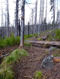
We saw a number of signs posted warning of rattlesnakes; despite knowing their presence was a possibility, we still got our nerves a bit rattled towards the end of our hike. As we made our way down the Wolf Tree Trail, feeling great after so much exercise and pleasant weather, we were jolted to attention by a very distinct rattling noise very close to the trail. I immediately commenced to do exactly what you shouldn’t – I bolted down the trail without even seeing where the snake was. Fortunately my ever-calm-cool-and-collected  husband had the presence of mind to stop (he was in front of me) and locate the source of the noise, and it was only by my seeing his quick glance to his right that I veered left and avoided running within range of the reptile. As much as I love nature, snakes scare the s*** out of me, and no convincing, no matter how rational, factual or well-constructed of an argument has ever changed this deep-rooted fear of mine. Naturally, I was a bit paranoid the rest of the way, but fortunately we only had about 15 minutes to go to complete our loop.

Smith Rock State Park Hiking Loop via GPS

Smith Rock Park Hike Elevation Map

 Overall, the hike route we completed was a great combination of challenge and fun, with stunning views as an incredible reward. The great thing about this park is that you can tailor your hiking route for many different skill levels, ages and time constraints. We completed this hike in mid-May, and it was quite warm and sunny – I only kept my long-sleeved shirt on to protect myself from getting sunburned, but had I brought sunscreen then a T-shirt or tank and shorts would have been more comfortable. Hiking boots would be great to have, but a solid pair of sneakers worked just fine in addition to comfortable socks. Bring plenty of water, sunscreen, a hat and of course a camera to capture the views!


Resources:
Smith Rock State Park Information


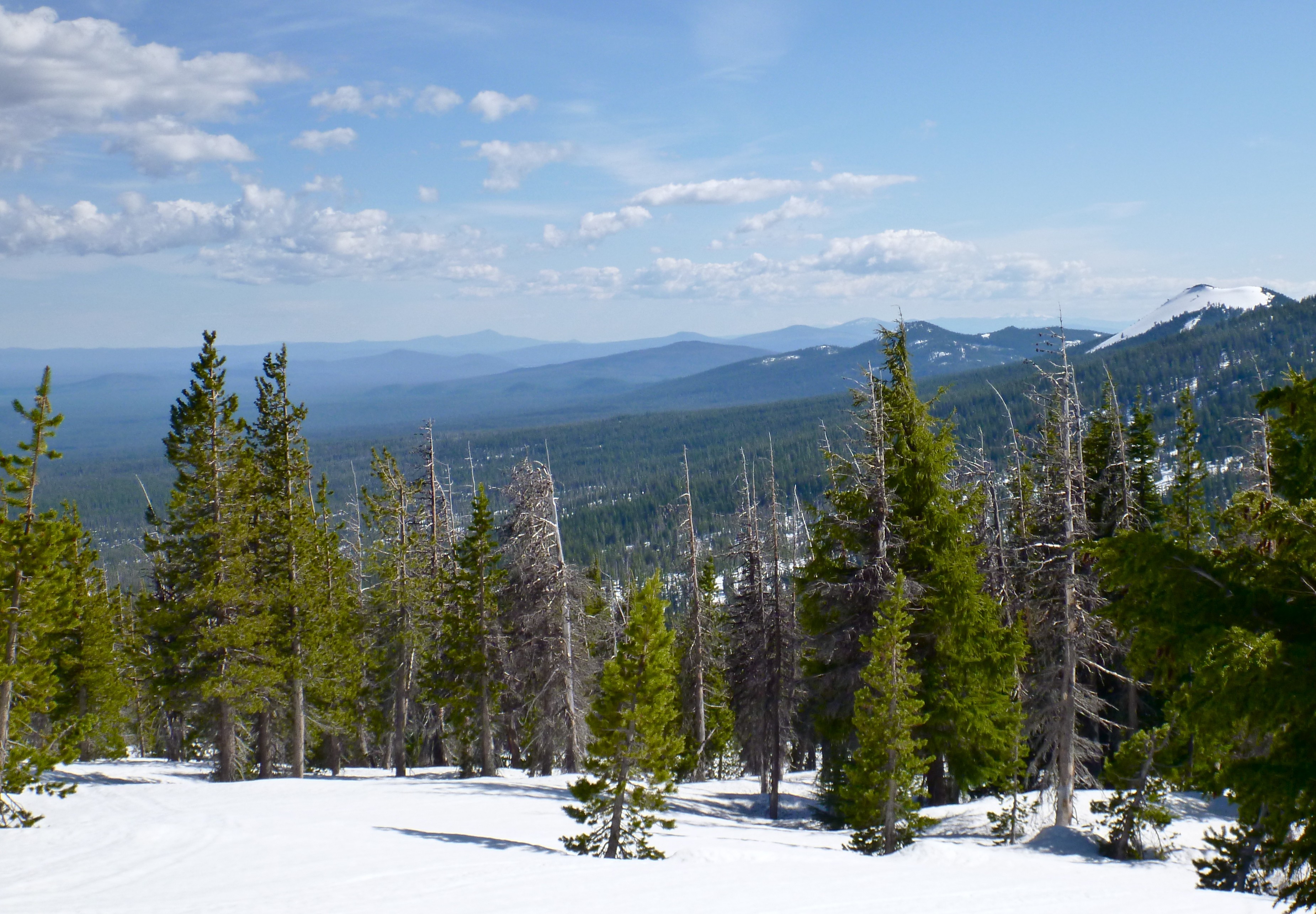


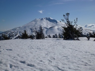
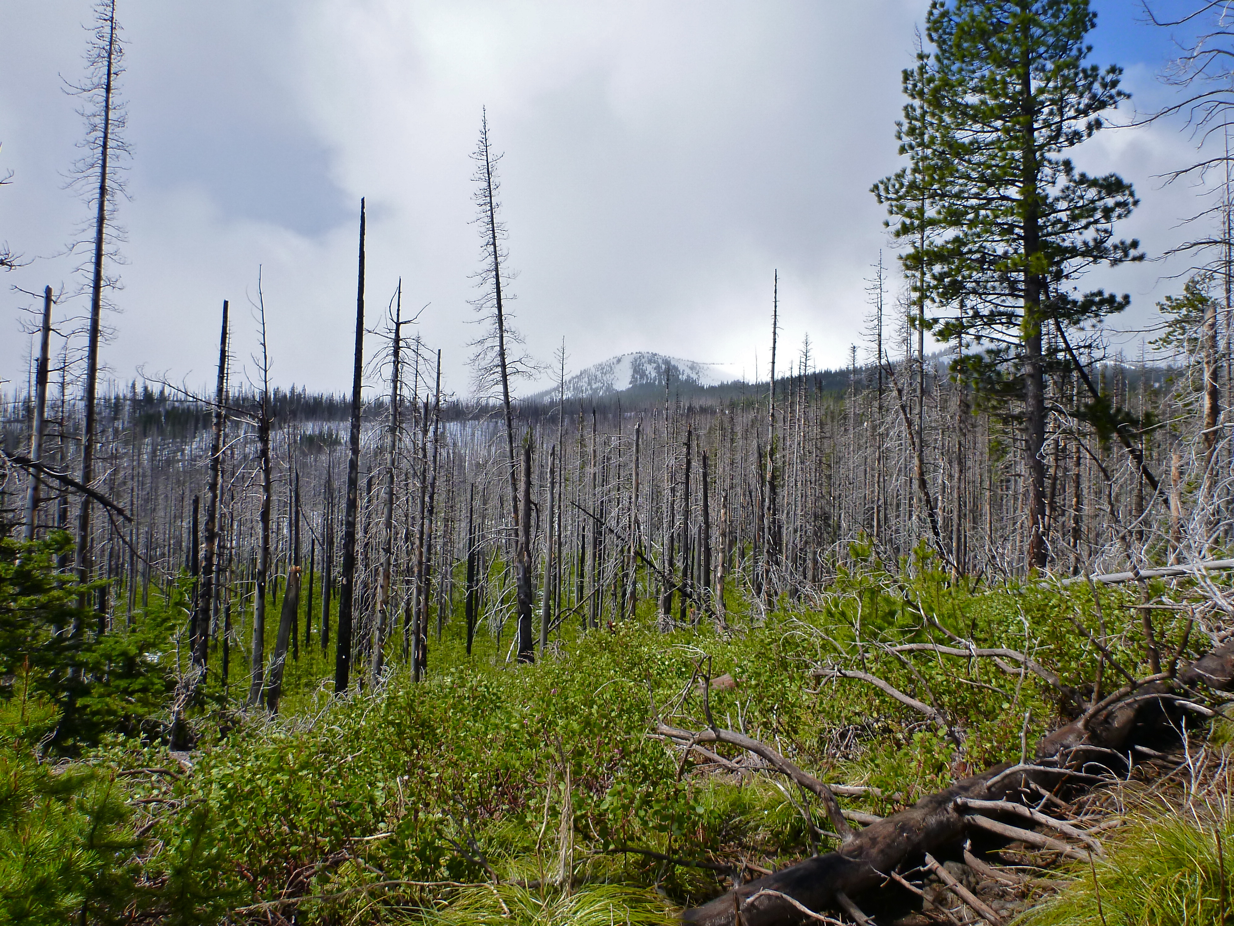
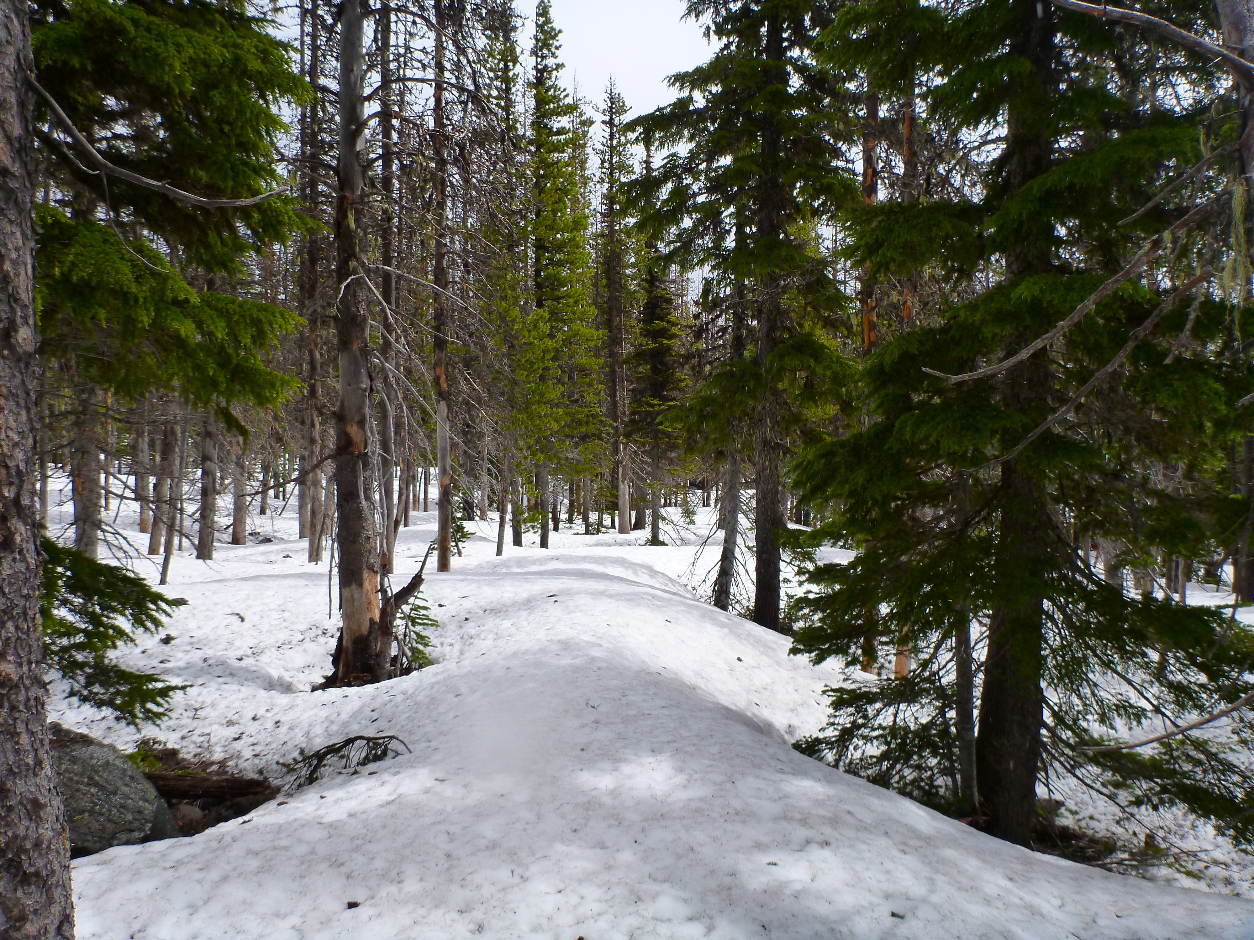
 , snow completely covered the trail when we attempted the hike in late May. As trail markers were lacking, we tracked our progress up the mountain using GPS. Even without a map or GPS, hiking this trail is relatively simple as heading upward and keeping Mount Bachelor roughly at your back will get you to the top. The way down is even more simple – it took us only 20 minutes to run/slide through the snow from the summit back down to the base parking lot, all the while just keeping Mount Bachelor in front of us.

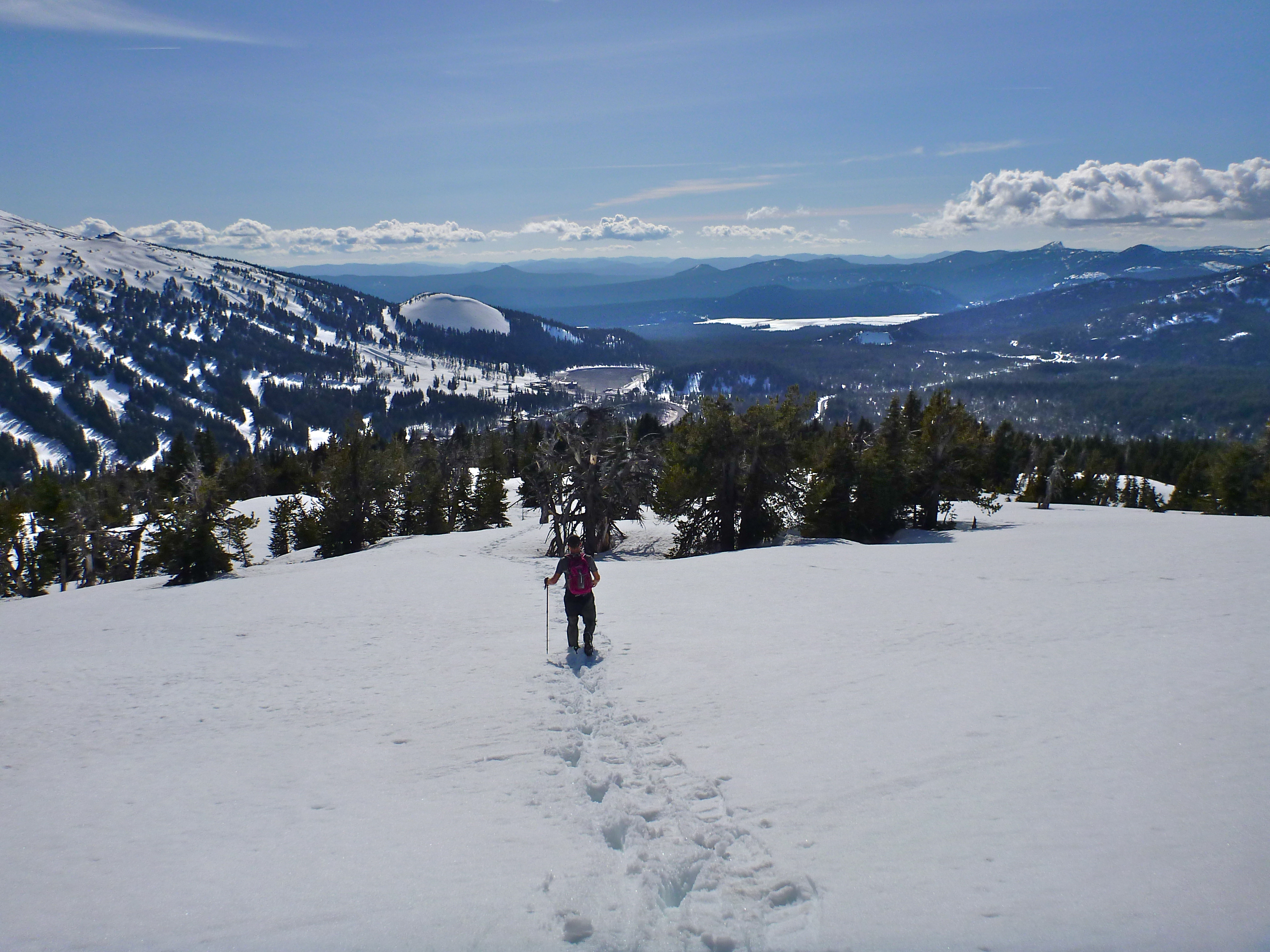
 oes while there is still snow on the trail, and hiking boots or a sturdy pair of tennis shoes in the summer. If you have hiking poles, they would greatly aid in balance/stability considering the steep incline on the way up and decline on the way down. As always, make sure to bring water, snacks, clothing layers, sunscreen, and hat. And of course don’t forget to bring a camera to capture the amazing mountains views from the summit!


 Based on our experience, we have the following recommendations for this hike:

